In an entrance corridor off the north eastern corner of the Zócalo, a gallery of old images and fantastic ... of the monumental architecture and use of the area of the Centro Histórico around the Zócalo.

Tenochtitlan, as it looked when the Europeans arrived. Looking south-east.

Looking north-east (this and remaining images).
It would seem to me that a network of tramways would still have a welcome place in the Centro and beyond.


Public transit in Plaza Mayor, 1937.
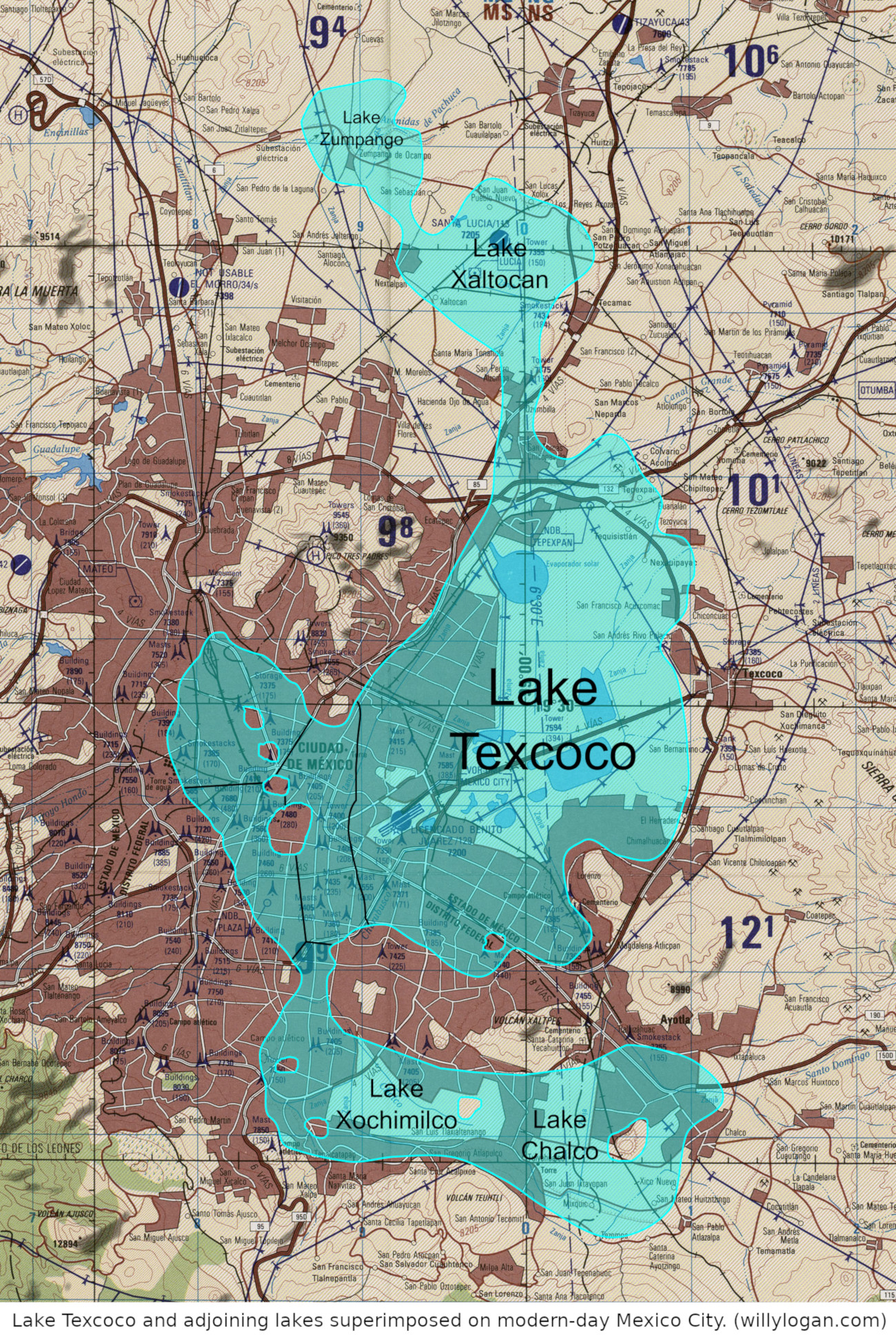
I read a comment that Cortés decision to raze Tenochtitlan and impose the colonial city over top of its ruins with buildings celebrating Church and Crown, was more a symbolic decision than a strategic one, to declare dominance over the indigenous peoples. Mexico City was founded on the largest of the grouping of four islands in the image below, roughly the area of the Centro Histórico. The city would spread out, the lake being drained and filled as more land was required. The city continues to sink into the soft soil and experiences a slew of related challenges.